Garmin GPSMAP 64st 是一款简单易用的手持式 GPS 系统, 地图详细、信号可靠、电池耐用 ,适用于狂热的徒步旅行者。
优点
- 坚固耐用和优秀的防水性能
- 充足的存储空间(8GB)
- 提供高分辨率地形图
- 戴手套也可操作的按钮
缺点
- 笨重
- 屏幕小
- 设置过程较长
虽然大部人对Garmin的印象还停留在过去作为导航神器之中,但专用 GPS 却受到了狂热的徒步旅行者的热烈追捧,GPSMAP 64st 就是这样一款适合徒步旅行者的设备,因为它有易于操作的界面和较长的电池寿命。
专业测试人员将 Garmin GPSMAP 64st 带到了太平洋西北部,在Tualatin 风景优美的山坡上对这款强大的手持设备进行了测试。
设计:不仅仅是功能性的回归
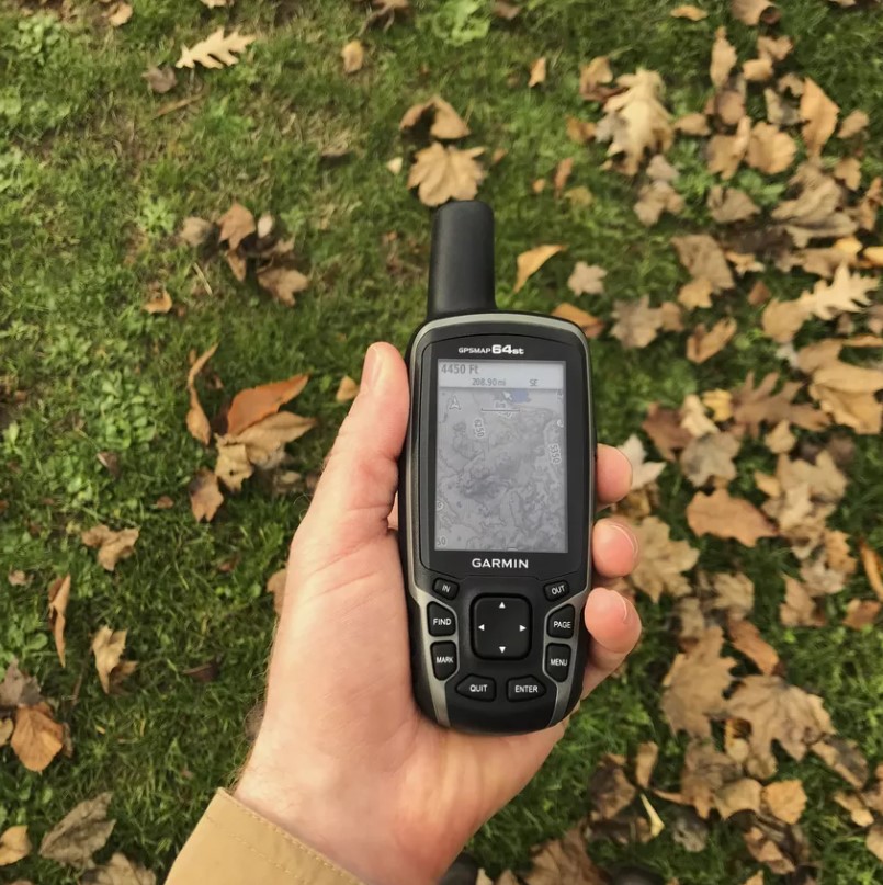
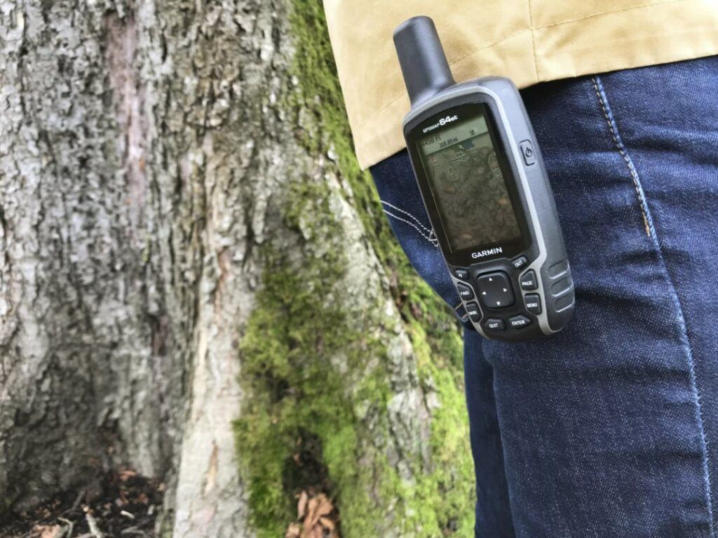
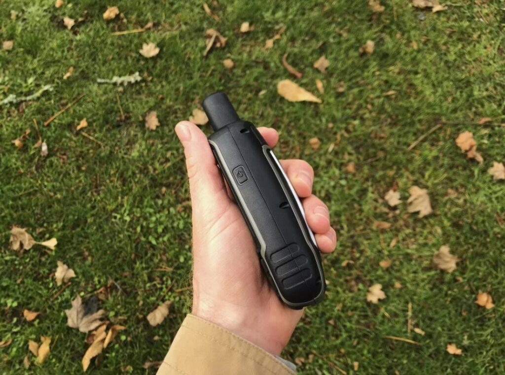
GPSMAP 64st 长6 英寸,宽 2.4 英寸,装满电池时重量超过半磅,样式笨重,却具有老式对讲机的复古美感。 GPSMAP 64st 符合人体工程学,橡胶外层并带有防滑纹理,手握舒适。GPSMAP 64st 配有登山扣,不使用时可系在背包或裤子后袋上。
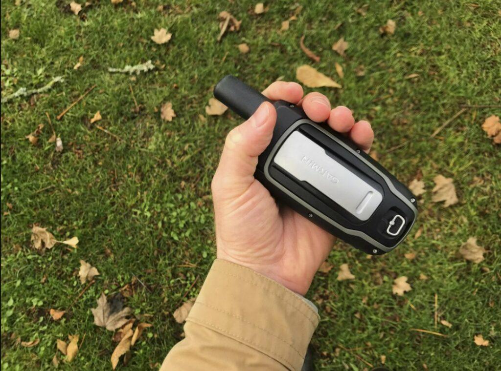
Garmin GPSMAP 64st 非常适合户外使用, IPX7 级防水适用于雨雪天气,甚至可以承受浸入一米水深长达 30 分钟。
键盘简洁易用,可使用方向键及其他按钮操作 GPSMAP 64st。
Garmin的GPSMAP 64st 通过牺牲屏幕尺寸,给键盘和按钮腾出空间。屏幕只有 1.43 英寸 x 2.15 英寸,不过也够用了。
设置过程:一个漫长的过程
或许很多人都用过 Garmin GPS。从用户体验的角度来看,GPSMAP 64st 是一次怀旧之旅。它几乎与经典 Garmin GPS 系统有着相同的平台,包括标志性图标。Garmin 秉持“不坏就不修”的理念,而且很容易上手使用。
GPSMAP 64st 的设置过程相当简单,只需几分钟即可启动运行,该设备可由一对 AA 电池或可充电 NiMH(镍金属混合)电池组供电。但是,这两个都是单独出售的。
软件和导航:过时但选择较多
为了在 GPS 世界中脱颖而出,Garmin 全力投入其 BaseCamp 软件和 BirdsEye 卫星图像功能。有时,GPSMAP 64st 似乎只是将BaseCamp 软件强加给用户的一种方式,但它是充分利用该设备的必要手段。幸运的是,Garmin 支持页面有系列教程视频,可以帮助用户安装户外地图、将数据传输到设备的所有工作。
尽管已经过时,但 BaseCamp 为冒险者提供了高分辨率彩色地图(TOPO 100K、TOPO 24K 等)以及旅行计划工具和户外功能。但是,需要有计算机访问权限才能下载这些高分辨率的彩色地图。安装 BaseCamp 程序后,可以裁剪区域,选择地图的质量,高质量的地图比低质量的地图数据多。
下载这些地图后,可以将数据导入 GPSMAP 64st 8 GB 内存或将文件拖动到microSD 卡(单独出售)。GPSMAP 64st 提供为期一年的 BirdsEye 免费订阅,免费期限结束后,续订价格是 29 美元 。
还可以通过蓝牙同步 GPSMAP 64st 和手机,这样在旅途中,不用从背包取手机就能共享位置信息、阅读短信、接收Instagram 通知等。
需要有计算机访问权限才能下载高分辨率彩色地图。
电池:信号强,使用时间长
对于手持 GPS ,最重要的指标是:信号、电池寿命和准确性。
GPSMAP 64st 的电池寿命官方标准为 16 小时。在实际测试中,该GPS是一直处于持续使用状态,各种更新,大约 7 小时内耗尽了大约一半的电池电量,GPS 信号从未低于三格(即使在更高的海拔),预装的 TOPO 100K 地图清晰明了。
特点: 有很多额外的享受
GPSMAP 64st 还提供了一些比较有价值的额外功能。Tracks 功能充当每次冒险中存储的一系列数字面包屑,使用户能够轻松追溯他们的步骤。BaseCamp 允许用户检查特定点的海拔以及追溯更改最喜欢的徒步旅行并与朋友分享此信息。
出于某种原因,Garmin 确实推动了包含的寻宝功能,并且看到测试人员在俄勒冈州,即寻宝开始的州,不由自主的参与了这个不必要的,但是令人愉快的奖励功能。GPSMAP 64st 预装了超过 250,000 个宝藏,只需点击几下,就可以访问波特兰都会区周围的本地宝藏,名称包括 JC Pennies III、Bus Stop 4、Big Gulp Cup 和 Kenny’s Sacrifice。
GPSMAP 64st 与 Montana 680t
所谓合适的产品就是价格和功能的平衡。是需要车载摄像头和触摸屏显示器呢,还是基本功能的徒步 GPS 就可以了?
为了便于导航,配备 8 兆像素摄像头的 8G Montana 680t 触摸屏目前售价 599 美元。Montana 680t 屏幕较大,宽 2 英寸,高 3.5 英寸,比装有三节 AA 电池时重近 12 盎司的 64 重。价格比较实惠,目前4GB GPSMAP 64的价格是 250 美元 。